


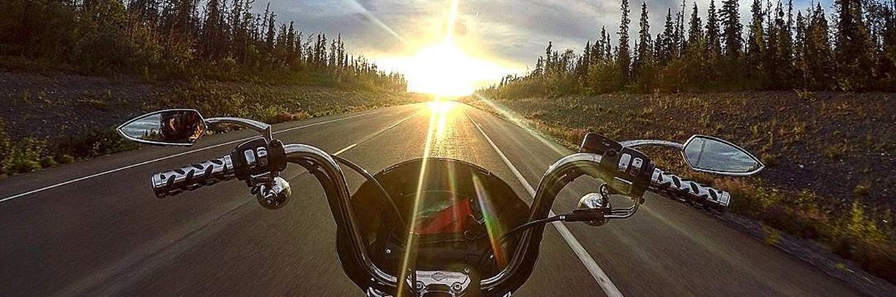
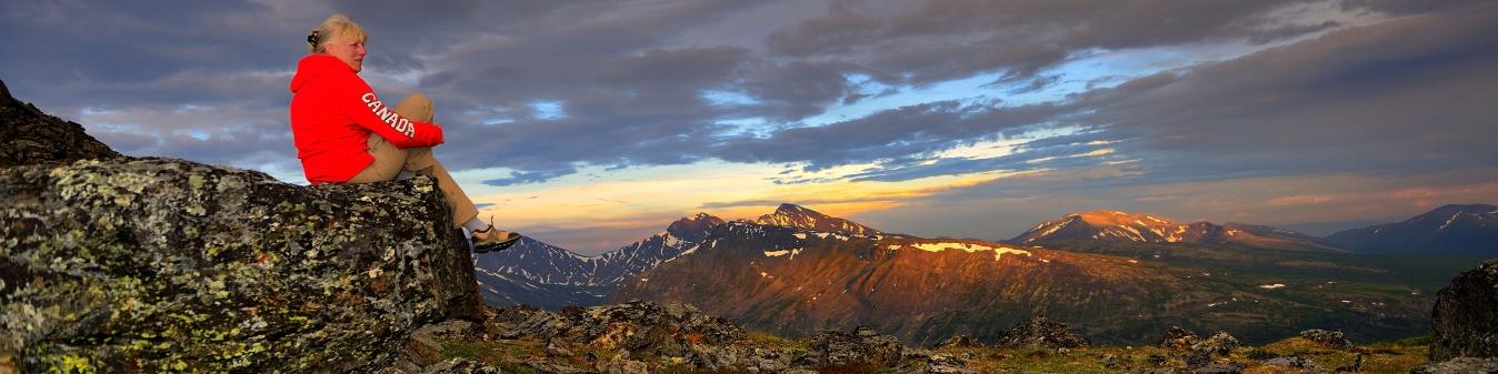
Sometimes you just need wide open spaces and an empty road. We have plenty of both.
Alaska Highway
Once called “the biggest and hardest job since the Panama Canal” the Alaska Highway was constructed between March and October 1942 by a workforce of 16,000. Built in order to link the US Mainland with Alaska and improve strategic war efforts during WW2, the highway starts in Dawson Creek, British Columbia and travels through the Yukon to Delta Junction in Alaska. Originally 2,700 km (1,680 miles) in length, today it is 2,232 km (1,387 miles) due to road rerouting and straightening over the years. Opened to the public in 1948, the Alaska Highway is one of the most iconic drives in the world.
Klondike Kluane Loop
Today, flightseeing over massive glaciers. Tomorrow, gold panning in the heart of the Klondike. This loop drive travels on the North Klondike Highway from Whitehorse to Dawson City, then via the Top of the World Highway into Alaska, returning to Canada on the Alaska Highway. Continue on the Alaska Highway through Beaver Creek, Kluane Country and back to Whitehorse.
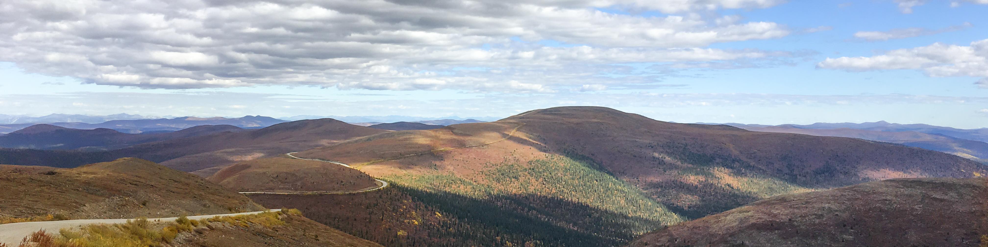
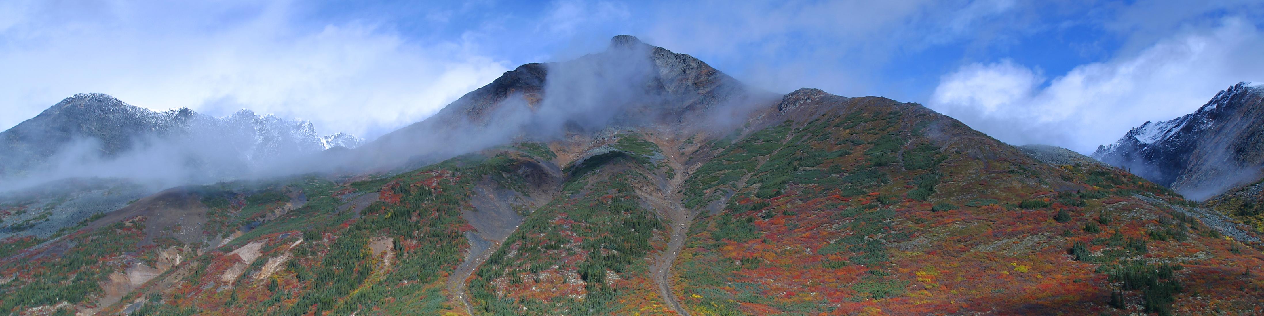
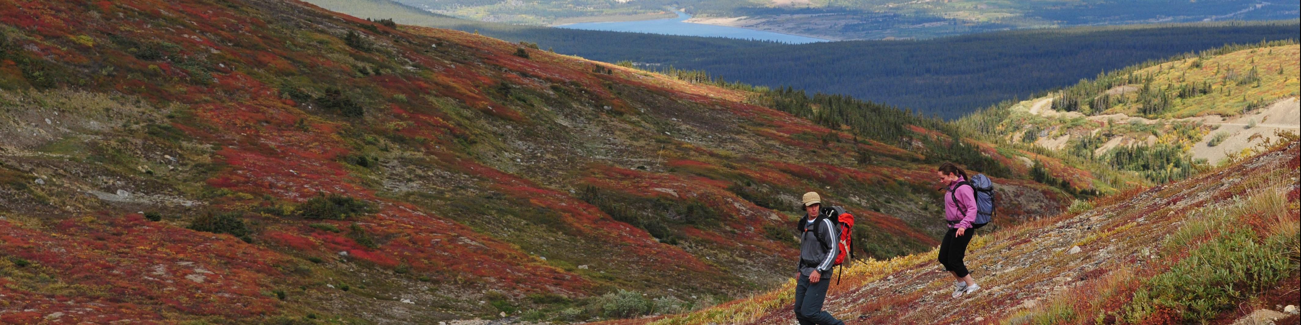
Top of the World Highway
What does it feel like to be on top of the world? Find out here.
The Top of the World Highway runs from Dawson City to the junction with the Taylor Highway in Alaska. The mostly gravel road sits atop the ridge line with views that go forever. It’s particularly beautiful in September when the fall colours paint the landscape a riot of colour.
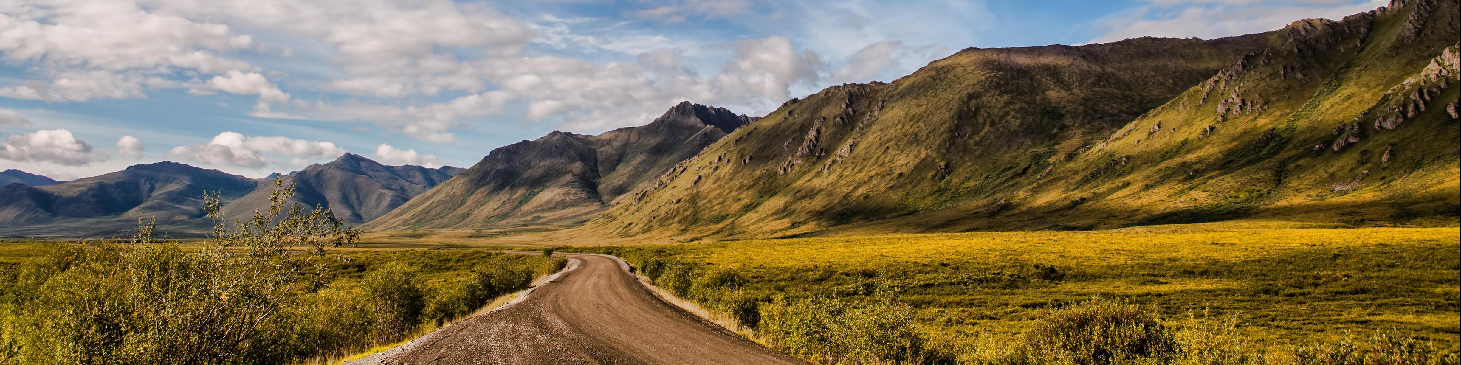
Dempster Highway
If your idea of a road trip adventure includes really getting off the beaten track then this is the drive for you. Canada’s only all-season public road to cross the Arctic Circle, this 740km (458mi.) gravel road winds its way through some seriously spectacular scenery. It starts near Dawson City and heads due north to Inuvik in the Northwest Territories. Colourful tundra landscapes, mountain ranges and wildlife are all part of the Dempster experience.
Golden Circle
Picturesque towns, alpine passes, stunning scenery. No wonder this is one of the most popular driving routes in the Yukon. From Whitehorse, the South Klondike Highway will take you to Skagway, Alaska through the scenic White Pass. A ferry connects to Haines, Alaska and the drive continues on the Haines Road and Alaska Highway through Kluane country and back to Whitehorse.
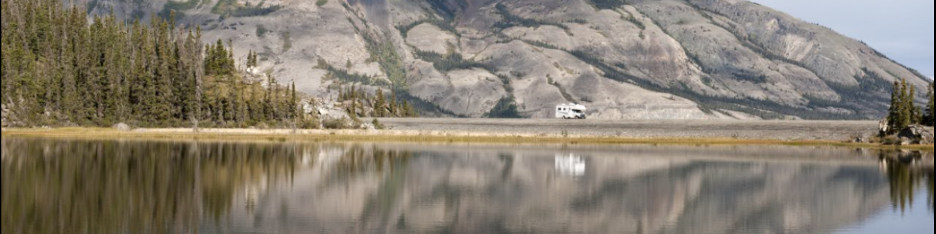
Campbell/Canol
Sometimes it’s good to really get away from it all and just soak in the peace and quiet. And where better to do that than somewhere called Quiet Lake? You’ll find it along the South Canol Road, along with several other sub-alpine lakes which the local moose population also enjoys. So keep your binoculars handy. The South Canol meets up with the Robert Campbell Highway near Ross River which allows for a loop drive through either Watson Lake or Carmacks. In summer a ferry provides transport to the North Canol – a more rugged wilderness drive for 4 x 4.
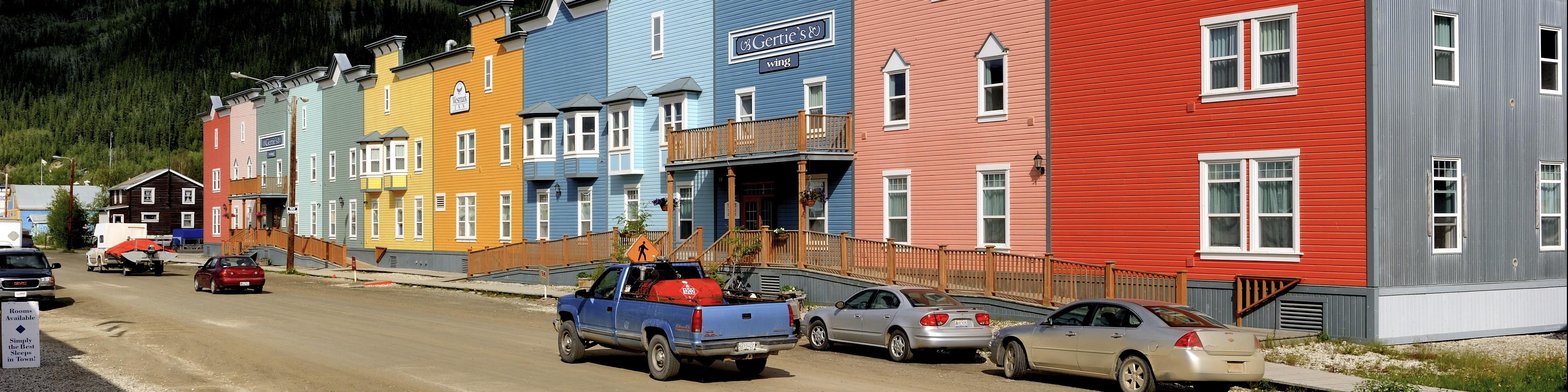
Silver Trail
Although it’s better known for its gold rush, the Yukon also became a silver mining centre when large deposits were found along the Stewart River in 1918. By 1923 the value of silver mined here surpassed that of gold taken from the Klondike. On this route you can wander through the frontier mining towns of Mayo and Keno, hike or bike local trails or break out the rod and reel and catch dinner – there are some excellent fishing holes in the area. It’s also prime moose habitat. The Silver Trail starts at Stewart Crossing and travels 110 km (67 mi.) to Keno.
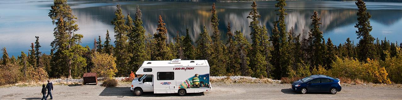
Southern Lakes Region
Easy driving through a landscape of deep blue lakes, coastal mountains and historic villages. Soak up the ambience in a wilderness lodge or cabin. Explore First Nations culture as well as local arts and crafts. For the outdoor lovers there’s plenty to keep you busy with hiking, biking and boating. And all just a short drive from Whitehorse.